Walk of Peace from the Alps to the Adriatic
The Walk of Peace from the Alps to the Adriatic brings together places, people, rich cultures and prosperous nature along the former battlefield of the Isonzo.
The hiking trail is more then 500-km long and travels on both Slovenian and Italian soil, reminding us all of the pain and suffer caused by the Great War, and serves as lesson on why wars simply cannot happen again.
The route is divided into 30 sections with both starting point and finish in settlements where hikers can rest, eat or sleep. Some sections are also very attractive for cyclists. The long-distance trail offers plenty of challenges as well as an unforgettable opportunity to discover the natural and cultural features along the Western Slovenian border.
The Southern part of the route encompasses the areas where the Battles of the Isonzo were fought in the Goriška Region, on the hills of Brda and on the Karst.
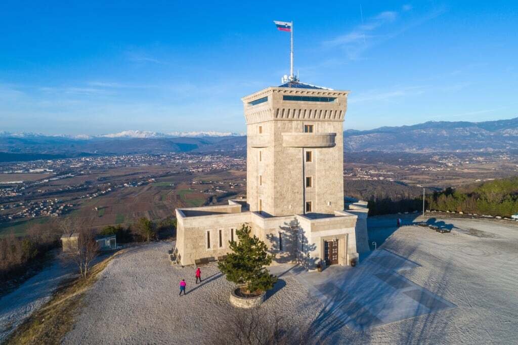
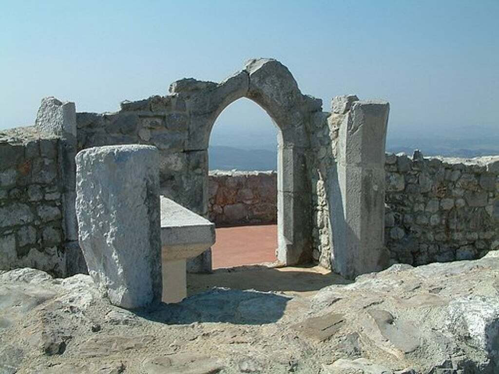
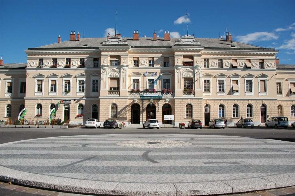
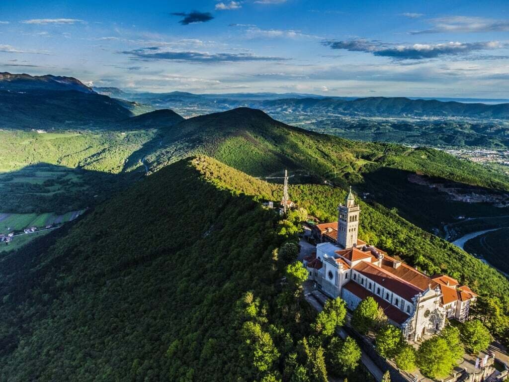
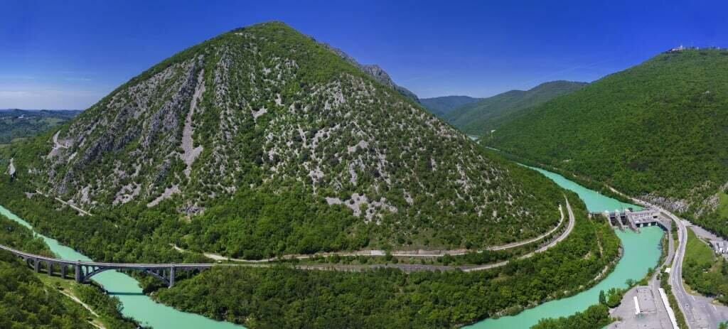
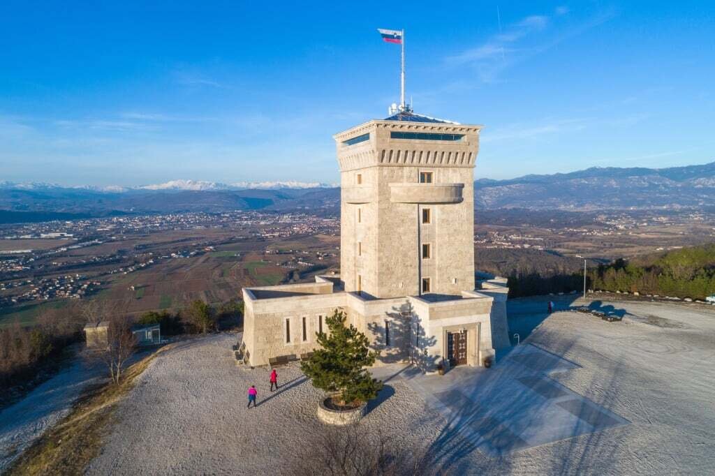
Rising above Nova Gorica, Mt. Sabotin was once the perfect spot for Austro-Hungarian and Italian defensive strongholds. Today it hosts the Peace Park with its museum. Positioned right between Nova Gorica and Gorizia, Europe Square is the symbol of the deep Slovenian-Italian relationship. Sveta Gora is not only one of the most popular shrines in Slovenia, but also the end of the 260-metres long tunnel built during the Battles of the Isonzo. Mount Škabrijel is known for being one of the bloodiest battlefields of the Isonzo front line on Slovenian soil. Today it hosts the open-air museum with an observation tower right at the summit. Besides gracing visitors with the most astonishing views from the Alps all the way to the Adriatic Sea, the Cerje Monument of Peace serves as perfect starting point for discovering the portion of the Walk located on the Karst Plateau.
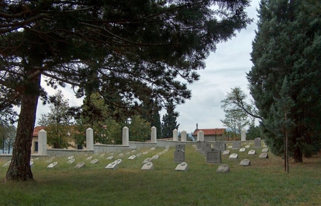
Military cemeteries are one of the saddest traces the battlefield left behind. The ones in Solkan and Črniče are included in the UNESCO Tentative List. The chapel of rest of the Renče military cemetery hosts the exhibition about the life in Renče during World War I.
Information on the Walk
difficulty: difficult
starting point: Log pod Mangartom
end: Trieste
length: the shortest route between Log pod Mangartom and Trieste will take you 13–19 days
highest point: Mt. Krn (2244m)
lowest point: Trieste (0m)
climb (total): 19,170m
descent (total): 20,040m
Information offices
Walk of Peace Information Office in Kobarid
Sabotin Peace Park
Cerje Monument of Peace
